OUR SERVICES
Our Service to You
Discover more about our extensive range of professional services. We constantly update this page, but if you still can’t find what you’re looking for, please feel free to get in touch with us – we will be more than happy to help.

What we offer
- KRS can provide the leg work and digital knowledge to complete your dig and lay project.
- KRS service rates are easy to understand
- KRS invoicing turnaround is quick and efficient
- KRS has over 50 years of experience among our team of recorders/surveyors
- KRS team can map cables and assets to the quality and standards that the network providers have become adept to.
- KRS only uses top technology and equipment to ensure that the final output is unquestionable
- KRS also offers a consultancy on projects to assist with the information at the planning stage
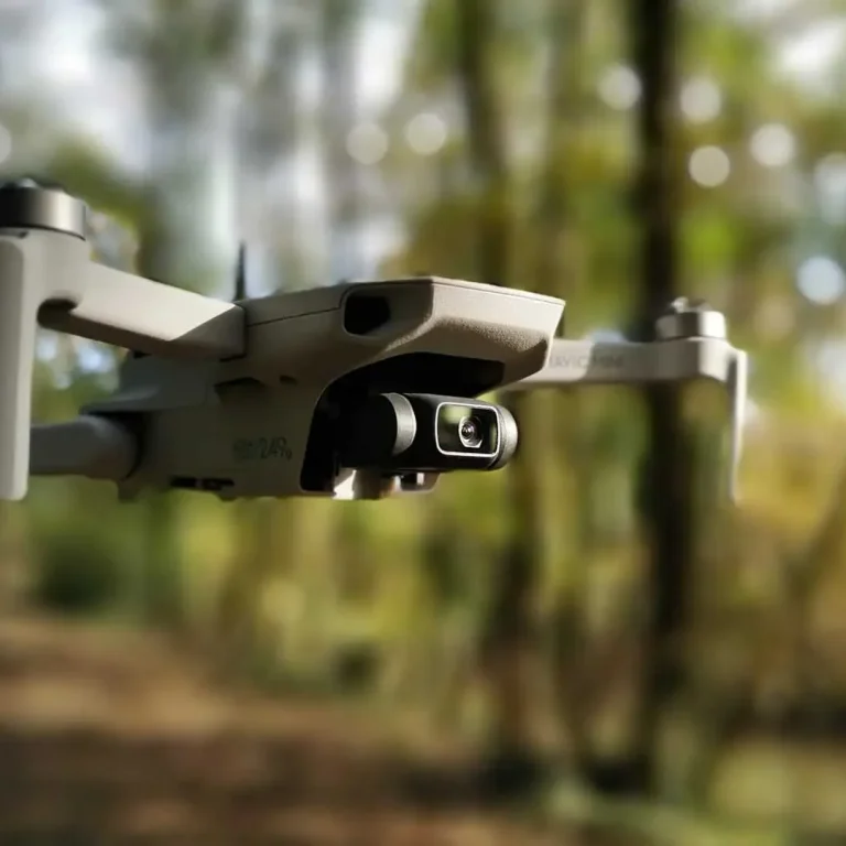
- KRS now offers Drone surveys, to help on larger projects.
- KRS undertake services to an accuracy of +/- 100mm compliant with HSE (HSG47 requirements & CDM guidelines)

Best Practice
We advocate industry best practices, carrying out our utility recording/surveying in accordance with PAS 256, and helping fulfill crucial responsibilities under CDM regulations and HSG47 guidance.
Aims of PAS 256:
- Builds on existing legislation PAS 128 and HSG47
- Drives towards improved accuracy and starts to facilitate electronic sharing
- Improves linkage between critical infrastructure assets and other initiatives for digital built Britain e.g smart cities, BIM.

Delivery Focus
As an established consultancy, we have a 100% understanding of the importance of delivering on time and within budget, whilst meeting the client's expectations. We, therefore, offer services that provide a range of flexible turnaround times to address the immediacy of challenges you encounter
Delivery of our presented data will be provided and inclusive of:
- Digital CAD 2D files
- KML/KMZ files
- Geography Markup Language files
- PDF drawings
- CSV files containing grid reference data
Survey Options

REAL-TIME AS-LAID SURVEYS
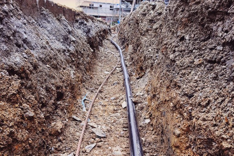
Working closely with our client we will attend sites on the day of installation to capture that important real-time data giving the client or utility undertaker confidence in the accuracy of all apparatus installed
This can be captured by plotting routes and apparatus from known ordnance survey features or with GPS data collection.

GPS SURVEYS
Using the most up-to-date GPS systems from Leica, we have the ability to record underground assets over headlines, and pole positions
Legal surveys can be undertaken to assist in proving boundaries where wayleave may apply.
Pre-construction surveys setting out routes in accordance to boundaries relating to possible wayleave issues

DRONE SURVEYS
Further information to follow soon

